Taking a line for a walk
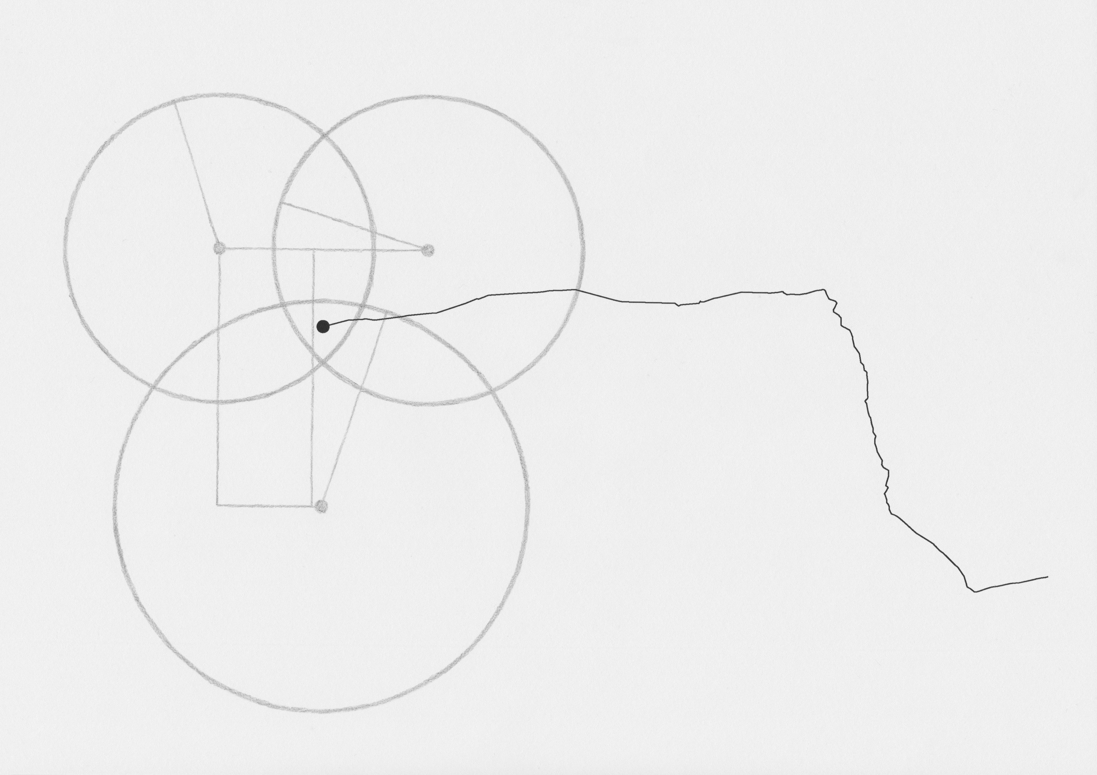
I'm making drawings by walking and tracking myself over GPS using an app on my phone. I walk door-to-door between the geographical locations of our network. The app I'm using displays my path as a jagged line, alongside information about the distance, altitude, speed, pace and time elapsed. When I reach my destination I save the walk, export it as a .gpx file to my computer, and then load it into software for plotting geospatial information. In the graphic interface of this software the track points are connected with a series of lines that link them together into a route.
This is a visualisation of my movements, abstracted into a line for quick and easy representation. Ask someone to draw a route from A to B and they'll probably draw a similar series of lines, bending where you should make a left or right turn. The most direct route is a completely straight line (as the crow flies) but this is hardly useful to the average pedestrian. Utility here is predicated by a delicate balance between a certain level of detail, and a certain level of abstraction.

Somewhere above me, satellites trilaterate my position and decide where I am on the globe. They take snapshots and these are intermittently uploaded to a remote server - I don't know where exactly - which serves this data to the software on my phone.
As I walk from homeserver to homeserver, I'm relying on a mental mind-map of Rotterdam, one formed over the past 7 months that I've been here. If I follow my nose, I can usually end up in the general vicinity of where I'm supposed to be. Eventually I need to use an actual map to pinpoint my targeted destination, but for the most part I enjoy the increasingly rare occurence of being lost for a moment.
If I walk enough routes, this will eventually form a map of Rotterdam, though one reduced down to just simple lines against a blank background. These represent areas that are accessible on foot, most likely the streets and footpaths.
The line here meanders slightly, perhaps this is where I crossed the street? I'm still in the habit of walking on the left side of the road, following the direction that traffic moves in Australia. Sometimes I notice that oncoming pedestrians can't always tell which way I'm going to pass them on the pavement; even on foot we still follow the flow of traffic.
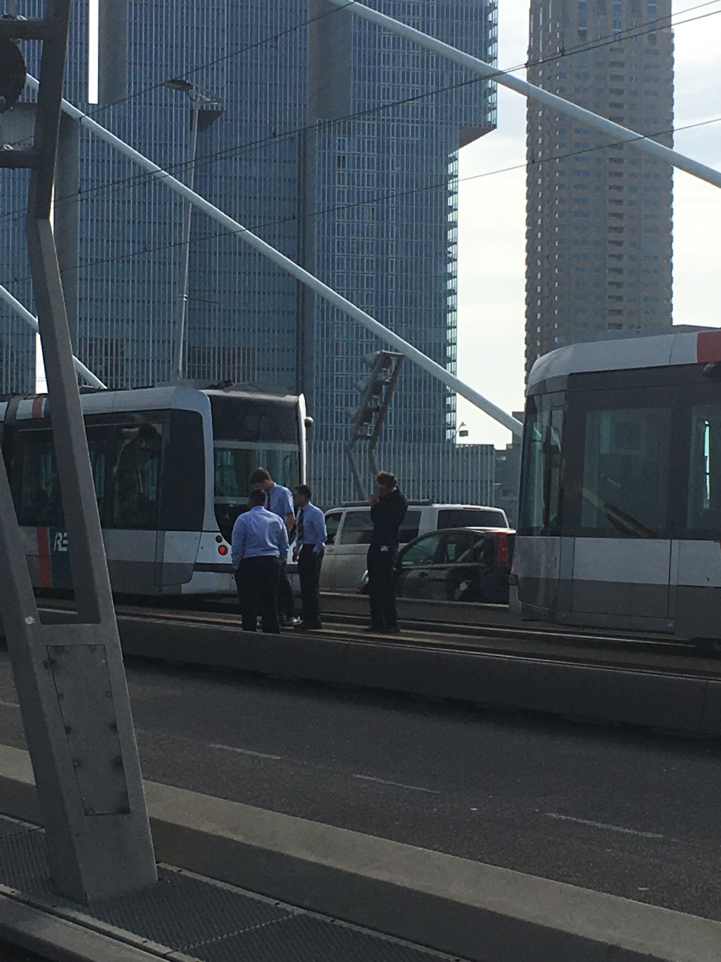
If you know Rotterdam, perhaps you can identify what the straightest part of this path represents: the Erasmusbrug. It's easy to guess why; the bridge is a high traffic area, and it's not so easy to wander off the path here, or to cross the lanes of traffic going over it. There are few other ways to cross the Maas River apart from going over a bridge. I suppose it could be crossed by boat, and there is also the subterranean Maastunnel further up the river. Or perhaps you might be brave enough to swim. But any which way one crosses the river (and assuming your GPS tracking device doesn't end up in the drink), the path represented by tracking software would reveal itself as straight lines between the snapshots of your location. On this particular day the bridge was raised; trams stopped mid-way, and their drivers stood outside, smoking in a cluster. Impatient joggers ran on the spot, the rest of us huddled while we waited for the bridge to lower again.
