Unravelling knots
The drawings I've been making by tracking myself over GPS makes a kind of map; however it does not display scale, or landmarks, or street names. It doesn't show which way is north, south, east or west. What it does show is some kind of graphic representation of the path I took by following my nose.
After I return back to the studio at Wijnhaven 61, I save and export .gpx (GPS exchange) format, and then drop the files into geographic information system software which allows me to accurately position the paths, representing them as lines.
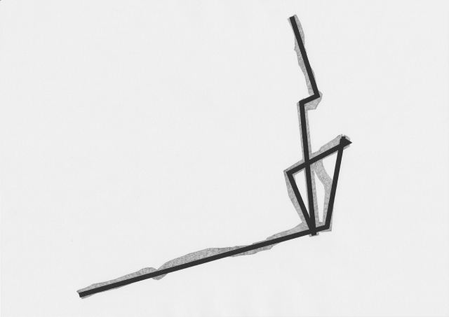
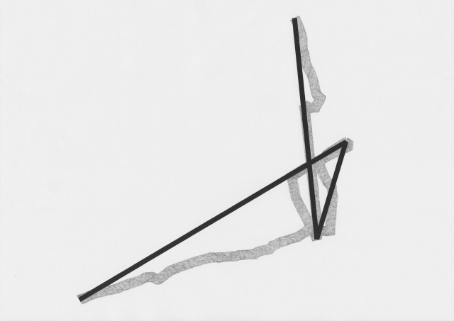
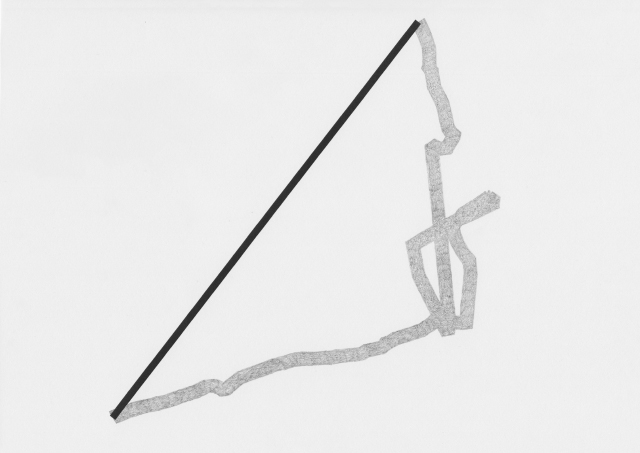
Later, I export a line to .svg (scalable vector graphics) format and start to zoom in on it using a vector graphics editor. When zoomed out, the line appears to be curved, jagged, definitely not straight. However, when zooming in there are many straight lines, and they only bend at anchor points where each snapshot is taken. The line becomes knotted at places, representing social interactions, financial transactions, places where I backtracked, and where the GPS signal was obscured within or deflected by buildings in the urban landscape.
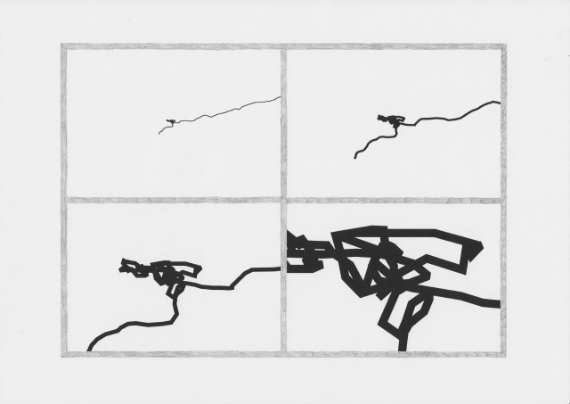
I begin to simplify the line, sliding a scale that removes anchor points and unravels the knot into a completely straight line. As I do this, I notice smaller knots that were not so visible at the scale I saw them at originally.