Unravelling knots
The map I've been making by tracking myself over GPS does not display scale, or landmarks, or street names. It doesn't show which way is north, south, east or west.The map I've been making by tracking myself over GPS does not display scale, or landmarks, or street names. It doesn't show which way is north, south, east or west. I use geographic information system software that allows me to accurately position all the .gpx files I upload from my GPS tracker app on my phone.
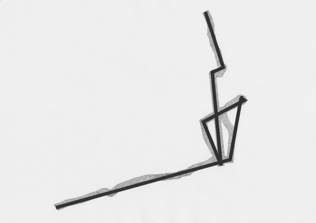
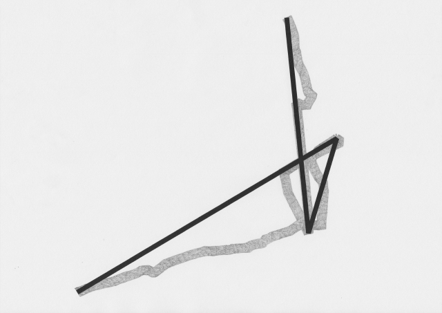
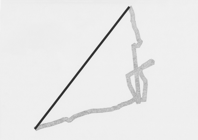
When zoomed out, the line appears to be curved, jagged, definitely not straight. However, when zooming in there are many straight lines, and they only bend at anchor points where each snapshot is taken. The line becomes knotted at places, representing social interactions, financial transactions, backtracking, and places where the GPS signal was obscured, or confused by bouncing off buildings.
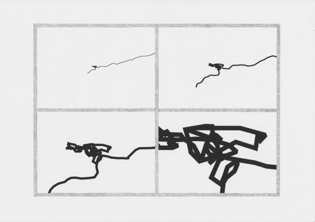
In a vector graphics editor I begin to simplify the line, sliding a scale that removes anchor points and unravels the knot into a completely straight line. As I do this, I notice smaller knots that were not so visible at the scale I saw them at originally.